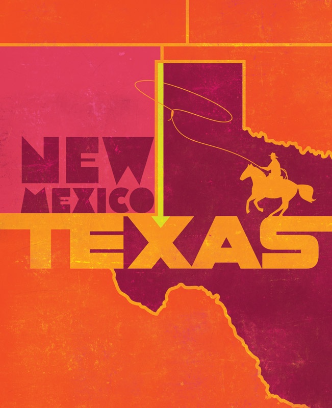
You can never underestimate the value of a good friendship forged early in life. If not for one such friendship, Texas would be more than 900 square miles smaller.
Before I get to the friendship, come with me up to the northwest corner of the Panhandle, where Texas meets Oklahoma and New Mexico. If you look closely at a map, you see that the border between Oklahoma and New Mexico doesn’t meet up exactly with the border between Texas and New Mexico. The northern Texas border continues 2.3 miles west before heading straight south, essentially notching into New Mexico. That jog is the result of a mistake some have called the worst survey error in U.S. history.
Listen to Author W.F. Strong Read This Story
Visit Texas Standard for more Texas stories (most of which are true).
In truth, that land should have gone to New Mexico. The border between Texas and the New Mexico Territory was to be exactly along the 103rd meridian, same as the border between Oklahoma and New Mexico.
John H. Clark was hired to do the Texas survey in 1859. He started from the south and surveyed northward until he ran out of access to water. He figured:
No problem, I’ll just go up to the north end of Texas and work my way down and connect to this spot.
Clark started again northwest of present-day Dalhart, at a spot that was a couple of miles to the west of where he should have been. He headed south, marking his way, until Native Americans ran him off. He was just 70 miles from connecting the line to where he left off in the south, so he connected the dots on the map and turned in his work. Sadly, he never would have connected with his earlier starting point. He would have missed it by more than a mile to the west. His northern starting point was 2.3 miles west of where it should have been, and his southern corner was nearly 3.8 miles west of the correct point. The error amounted to an extra 603,348 acres, or 942 square miles, for Texas.
By the time New Mexico was set to achieve statehood, state leaders knew about the error and slipped a clause into the statehood legislation that said that the eastern boundary would be the true 103rd meridian. Thus, New Mexico would get its land back. Nobody seemed to be paying attention to the state’s intentions except John Farwell, an original investor in the XIT Ranch in Texas. He realized that the XIT would lose hundreds of thousands of acres—and mineral rights—if the New Mexico plan went through.=
Farwell had been good friends with President William Howard Taft during college at Yale University. He went to see his old buddy and explained the predicament. Taft summoned powerful men to his office and told them the Clark border would be the legal border when New Mexico became a state, or it would remain a territory.
And that is how a survey error, along with an old friendship, made Texas almost a thousand square miles bigger than it was supposed to be. Once again, it’s about who you know.
Get the Newsletters
The best of Texas delivered to your inbox every month